
Rhino Rock

We were at Stanley for staycation when we decided to go for the Rhino Rock Trail. It is a short but definitely adventurous hike. To get to the starting point which is located at Stanley Fort, we took the easy way, hop on a cab from Stanley market. 


Once arrived at the Stanley Fort, look for the stairs next to the military gate. Climb up the stairs then follow the trails to Che Pau Teng, which would be the highest point (177m) of your hike. Bear in mind it’s quite a moderate amount of climbing uphill at the beginning, and then it’s all descending. My kids said the hardest part of this trail is definitely these stairs 😂 .


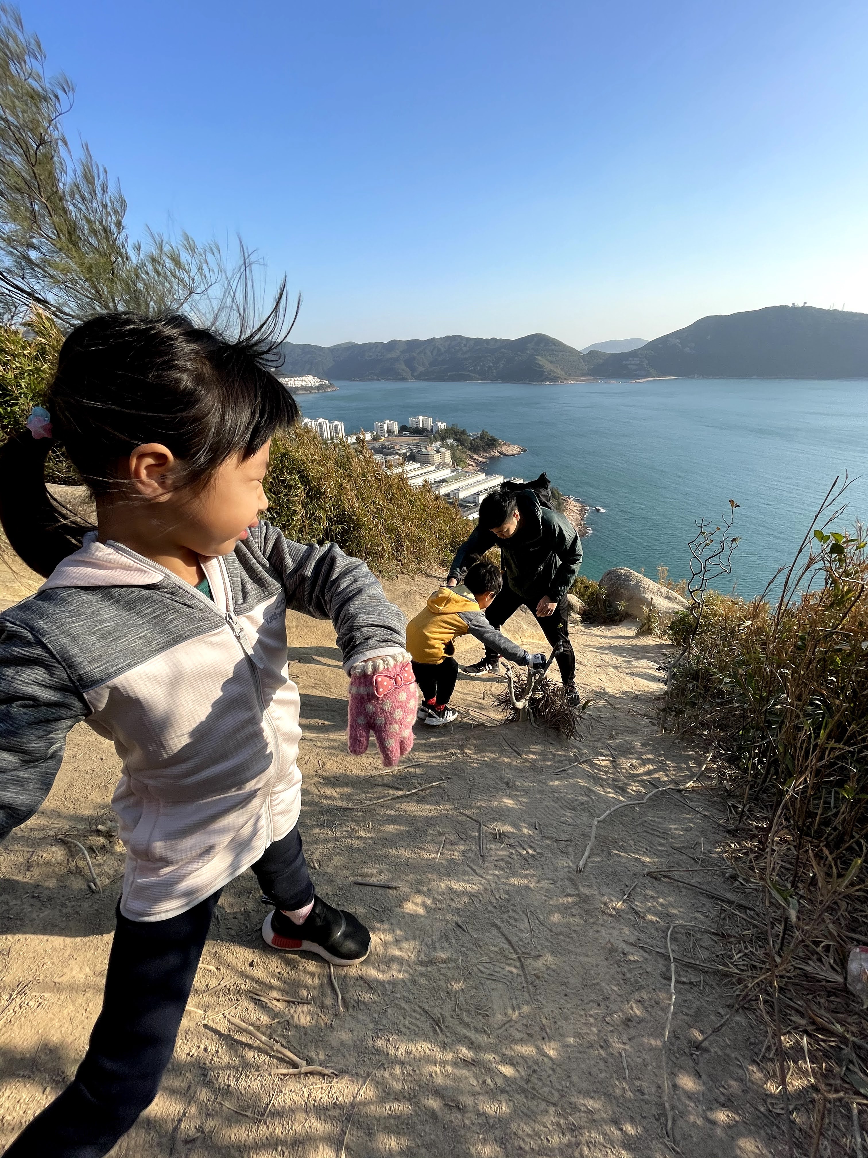
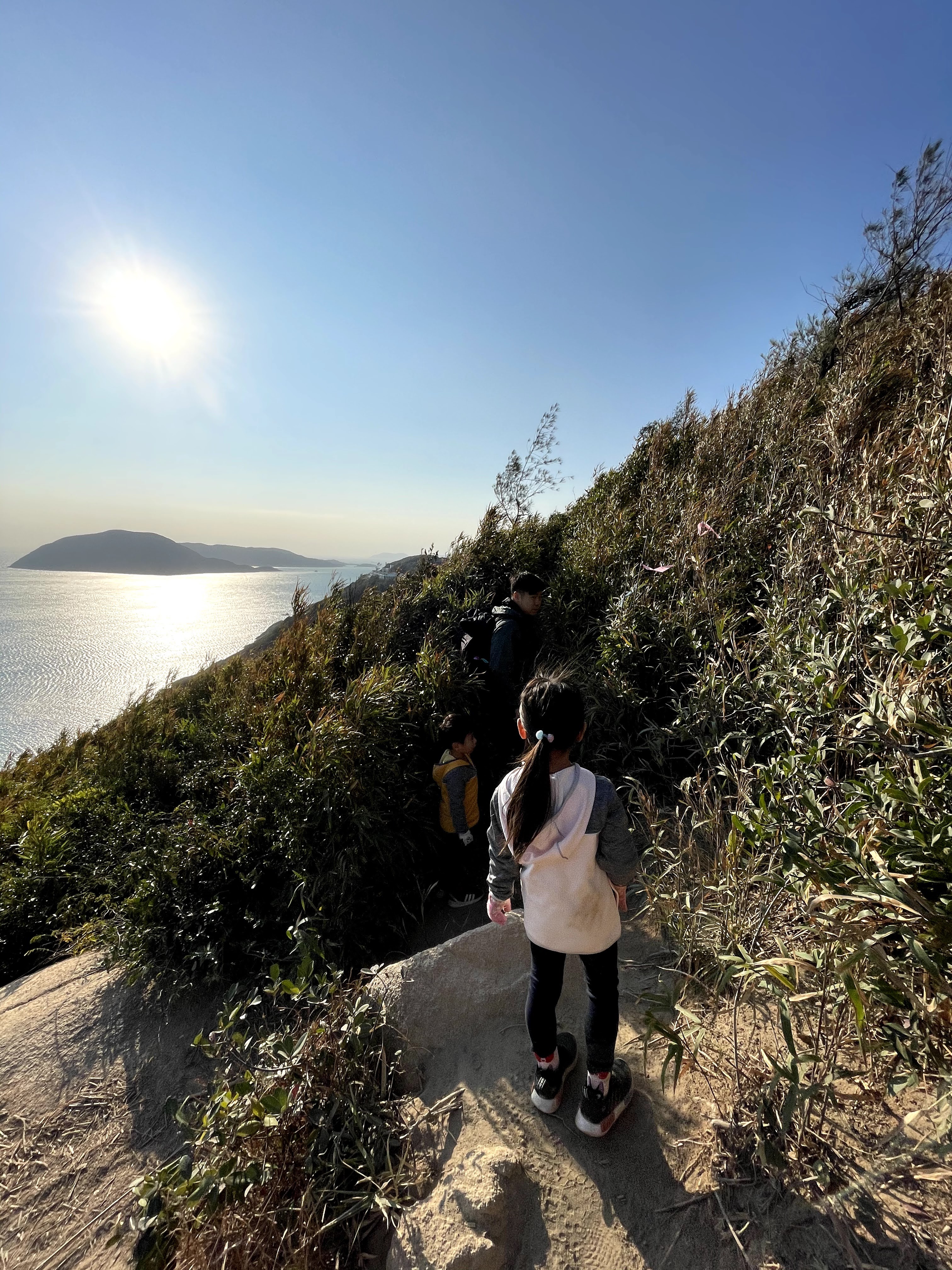
Which way to go next when you’re at Che Pau Teng? It’s the bushes on the right with entry point marked by ribbons. Then, things got interesting! Bushes brought us out to the other side of the hill, and there isn’t much points for recognition, the tracks are slippery too. So, be extra careful and pay attention to the ribbons. 


There are different points to stop and admire the view. Stanley prison is right next to us with Tai Tam Bay at front, opposite is the country park where Dragon’s Back and Cape D’Aguilar trails located. 


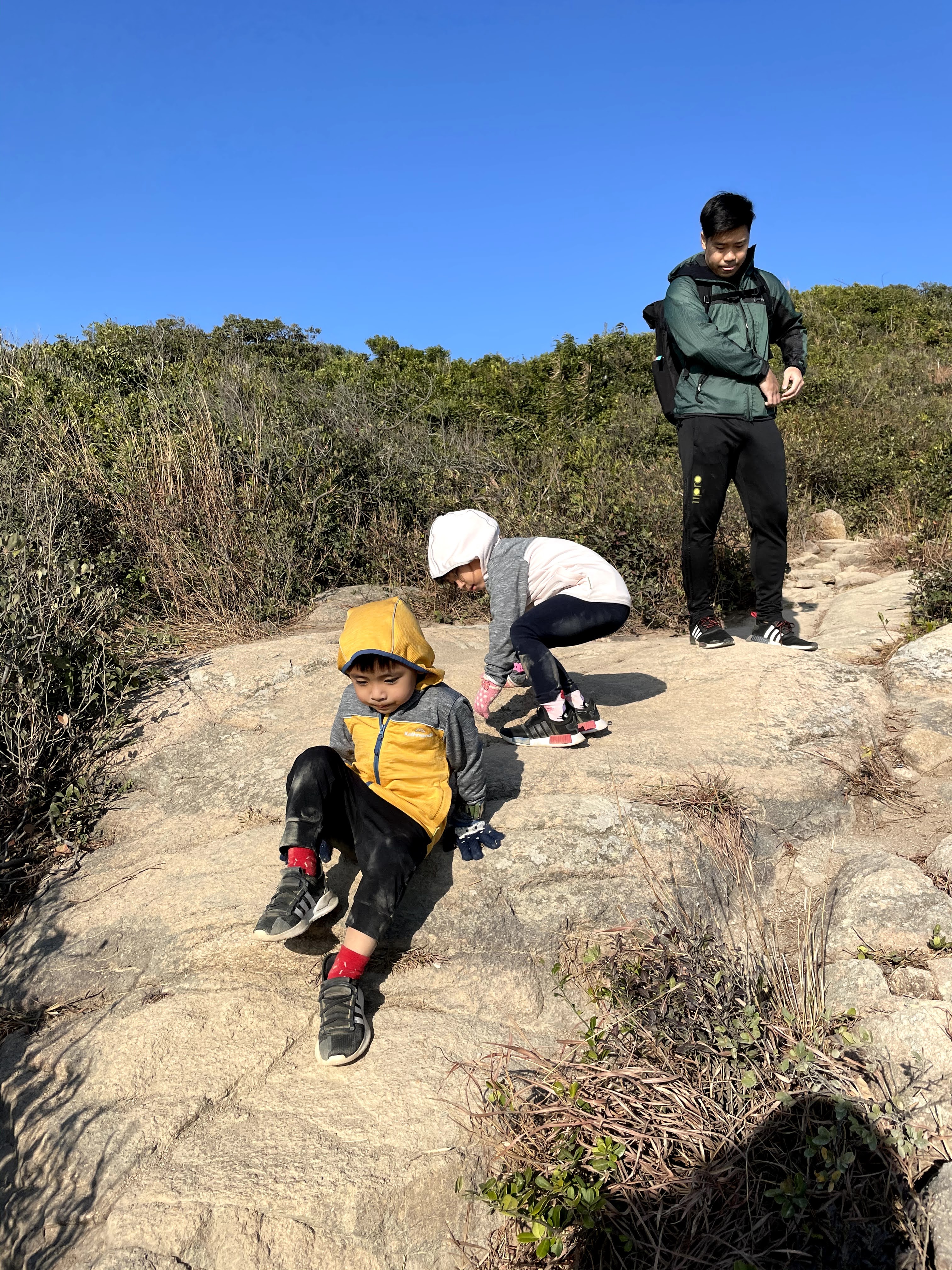
You know you are close to the Rhino when you are at these massive rocks area where you have to climb up and down, cutting through it. Soon after the rocks, you should be able to see the Rhino Rock on your left. 


If you do plan on climbing up to the Rhino, just be careful, it’s a bit tricky going up and down. 


Then, just return the same way you came , climbing back is way easier and faster. 


To avoid the crowd (I do think the slippery sands and rocks trails are even more dangerous when there’s queue of people’s going at the same time), we started our hike at around 8.30am, reached the Rhino Rock by 9.15am and head back as soon as we see people coming in. Round trip is approx 1.3km according to my trail app. 


Recommended: 

✅gloves and non-slippery shoes

✅long pants and sleeves (to avoid cuts from bushes and rocks)

Toilet: 🚫

Difficulties: ⭐️⭐️⭐️

Scenic: ⭐️⭐️⭐️⭐️

How to get there: 

- bus 14 to the last stop at Stanley Fort

- walk from Stanley Market, approx 30mins 


📍 We normally masks on when we are outdoors ; but this time, there are nobody anywhere near us, I don’t see anyone until we are done having few photos at the Rhino Rock. 


X


#hongkongkids #hongkongparents #hongkongfamily #hongkongmom #outdoor #adventure #hikinginhongkong #hikingtrail #stanley #rhinorock #familyactivities #childrenhiking #hiking #activities #mykids馬來港孩 #行山 #親子行山 #親子活動 #親子遊 #香港媽媽 #香港兒童 #戶外活動 #香港行山 #週末 #假日好去處 #犀牛石 #赤柱 

Comments

Popular posts from this blog

High Island Reservoir East Dam (萬宜水庫東壩)

A couple of months ago, I planned on an easy scenery walk with kids and their friends. We left home right after school, only managed to grab a bite on the way to Sai Kung. There are plenty of hiking trails waiting for us in Sai Kung but this time, we go for the easiest route, just a short visit to the East Dam.  It’s a reservoir formed in 1978, known for the volcanic rock columns and anchor shape sea barrier(錨形防波提), a breakwater. There’s public toilets right at the entrance to High Land Reservoir East Dam, along there’s information on volcanic rocks and pavilion. It’s concrete or asphalt pavements all the way down to the sea cave which is proof of coastal erosion (海蝕洞).  On your way down to the breakwater, there’s a gigantic wall of volcanic rocks, which is the hexagonal rocks columns! Its a 140 millions year old volcanic history. Along the way you passed the road with sea barrier (my suggestion is to spend time here on your way out), hexagonal volcanic rocks on your right a...

Hiking : Tsuen Wan to Sha Tin

Even though we enjoying having friends around, we always make times for just the four of us. And we love hiking as a family. It is a bonding experience and allow us to exercise together. Hiking motivates kids to be active and teaches them to appreciate the nature. Family hike is usually on a Sunday. We started at Tsuen Wan’s Shing Mun Country Park. Once arrived at the starting point, turn right and continue walking on paved road (watch out for cars), it’s anti-clockwise along the reservoir. Walk along Wilson-trail sec 7, the reservoir is on your left, until you reach a T point where your left is a bridge. Take the stairs on your right towards the paved road, then turn left to continue walking. You will be crossing a bridge, and it marks the beginning of a more challenging hike. From the bridge, it’s mostly slopes, all the way towards the other hills to Shatin. After the first slope at a junction, there the only cubicle toilets. I suggest to take a break. There’s a signboard, continue...

Tips: Hiking

Hiking with kids can be tough but we did it anyway, because it’s one of the best way to show kids the right way to care and love the nature. Of course, there are times where kids get worn out, feel bored or throw tantrums; but they develop new skills like observing plants and livings in nature, experience independence and trained physiques when they spend time outdoors.  However, heading into the nature with children requires some planning and prep;  1. Right clothing and gear. Layers of clothes so you could adjust for changing temperatures, weather and condition. Closed-goes shoes that fit well. Accessories like hat and sunglasses  2. Stock up your backpack.  Filled up with snacks for kids (something they’ll look forward to), plenty of water, sunscreen and bug repellent. Consider to let your young children like mine (4.5yo and 3yo) bring 1 of their favourite toy if it makes them feel better about the hike. And not forget the first aid kit stock with bandage, bite an...